Monte pisano da Guamo per MTB
Mountain Bike
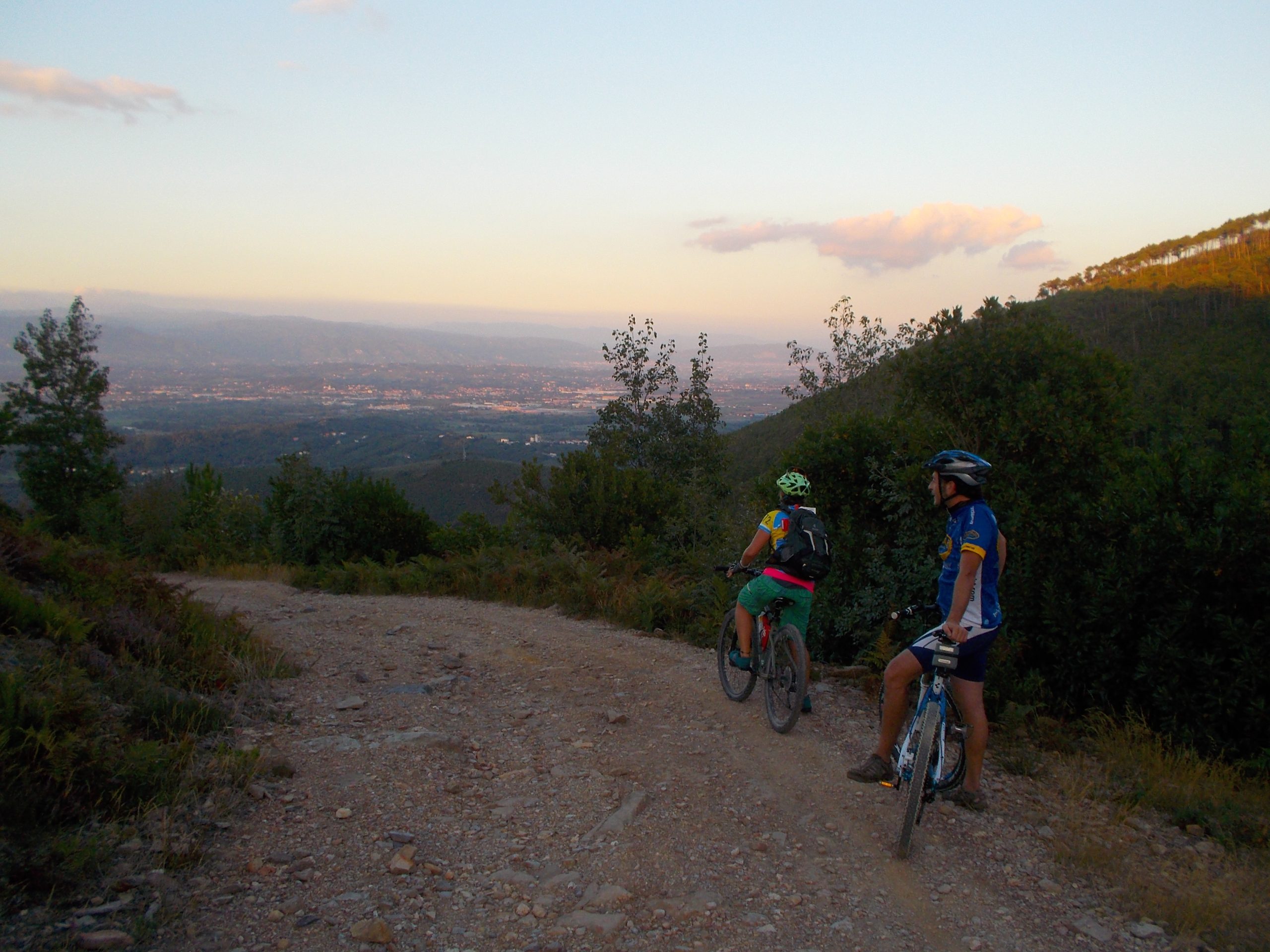
Dal lato lucchese del Monte Pisano godiamo del facile e spettacolare avvicinamento lungo le arcate dell’Acquedotto monumentale del Nottolini, opera del XVIII secolo.
L’ingresso nel fresco e umido ambiente del compitese, adatto all’allevamento di camelieti, segna l’inizio del tratto di salita più arduo. Lo sforzo è ben ripagato da numerose soste in slarghi e visuali sulla piana lucchese, circondati da una natura prorompente. Sul crinale del monte avremo modo di gettare lo sguardo sul lato pisano. La discesa è divertente ed appagante, con finale che può diventare occasione per una merenda o un assaggio dei prodotti di queste terre.